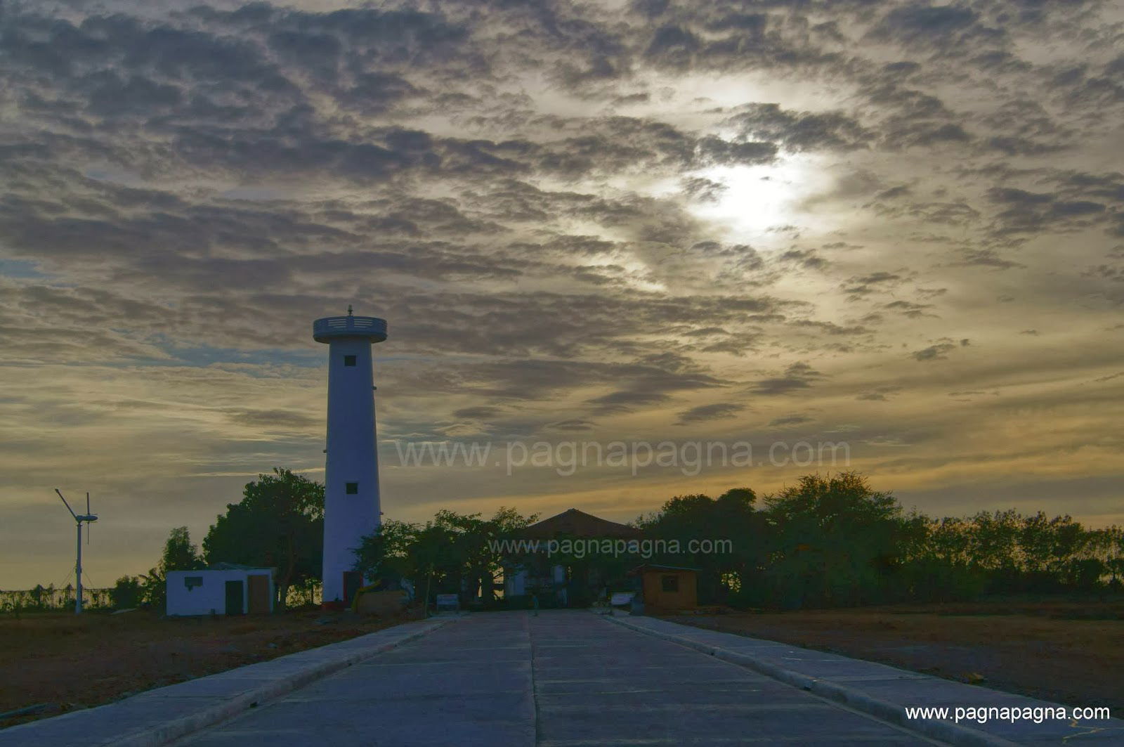
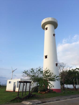
Light House
Poro Point, also known historically as San Fernando Point (Spanish: Punta San Fernando), is a headland and peninsula located in the city of San Fernando, La Union, on the island of Luzon in the Philippines. It projects northwesterly about 3.2 kilometres (2.0 mi) into the South China Sea. It was named after its location within barangay Poro and is the site of Poro Point Freeport Zone, a special economic zone established since 1993.
History
Poro Point has been the site of a navigational aid since 1885. The first Poro Point Lighthouse built during the Spanish colonial period is a cylindrical steel tower that was prefabricated in France and was completed on 28 November 1885. It measures approximately 6 metres (20 ft) in height and was one of the seventeen luces locales (local lights) built by the Spanish in the Philippines. On 28 July 1903, after the U.S. gained control of the Philippines from Spain, 200 meters of land surrounding the lighthouse was converted into a US reservation through Executive Order No. 06 signed by Civil Governor William H. Taft. By November 1903 through an executive order by U.S. President Theodore Roosevelt, the site became Camp Wallace and eventually, the Wallace Air Station.
In 1979, a concrete tower was built to replace the Spanish lighthouse. This structure that now towers over the area is 126 feet (38 m) tall.[6] With the transfer of the U.S. facility to the Philippine government in September 1991, it became the headquarters of the Naval Forces Northern Luzon (NAVFORNOL) of the Philippine Navy called Poro Point Naval Station. It was later renamed to Naval Station Ernesto Ogbinar after the former Navy chief. The former Wallace Air Station has also been converted into a freeport and investment zone.